
States and privately licenced space and defence companies operate their satellite systems to gather accurate and prompt intelligence. International collaboration and reciprocal agreements between national and private space companies generate an accurate interpretation of the present emerging treat environment. Thus, integrated crisis alert and warning systems are necessary for reliable information dissemination and crisis disruption. For this purpose data integrity, authenticity, and quality must be constantly validated.
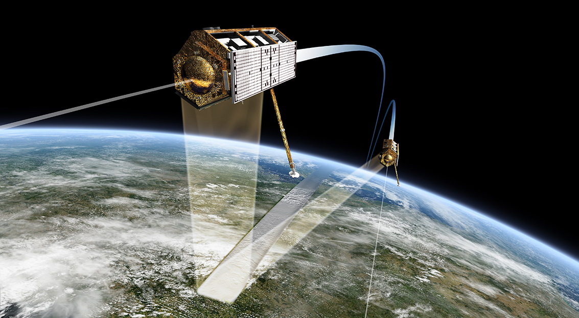
Expanding earth observation capabilities evolved conflict management from the immediate response to risk reduction. Decision makers observe the present conditions on the ground and simulate future developments through computational models. Hence, it is imperative to obtain information quickly and precisely and put useful insights for simulations. As an example, drones, and satellites provide targeted monitoring of buried underground facilities to decision makers. Moreover, with recent advancements, drones and satellites can monitor buried underground facilities in hostile and inaccessible areas without jeopardising human life.
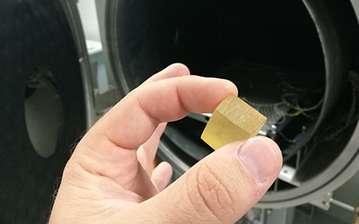
At Belpico, we are developing new techniques and apparatus for the detection of buried objects and resources. Detection and monitoring of underground military structures involve identification of materials, objectives, composition, strength, tendencies, tactics, equipment, personnel and capabilities. Thus, data fusion is required from visual photography, infrared sensors, lasers, electro-optics and synthetic aperture radar. Ultimately, observing these underground military structures concealed by soil is not enough. Identifying the purpose-dedicated components of complicated and buried structures is crucial. At Belpico, we are developing collection and fusion of diverse remote sensing techniques including higher spatial resolution and hyperspectral data.
Please feel free to contact us if you need any further information.
Start Now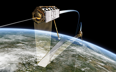
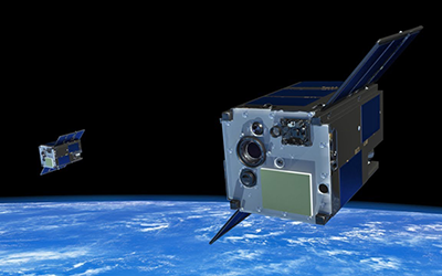
Earth Observation Equipment Detection of buried objects and resources.

Space Exploration EquipmentImprove automation, cognition, and networking features of data delivery services.
Human Space Flight TechnologiesReduce the operational and launch costs of human space exploration.

Orbital InfrastructureRobotic orbital infrastructure for servicing space assets.
Telecommunications InfrastructureHigh data rates approaching 1 Gb/s with low latency.